


Balade chapelle st-honora

renaudma
User
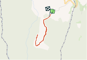

Length
3.4 km

Max alt
1061 m

Uphill gradient
163 m
Km-Effort
5.6 km

Min alt
893 m

Downhill gradient
166 m
Boucle
Yes
Creation date :
2024-11-05 12:24:51.0
Updated on :
2024-11-07 11:40:48.928
1h13
Difficulty : Easy

FREE GPS app for hiking
 SityTrail
IGN / Geographical institutes
SityTrail Plus
The world is yours!
About
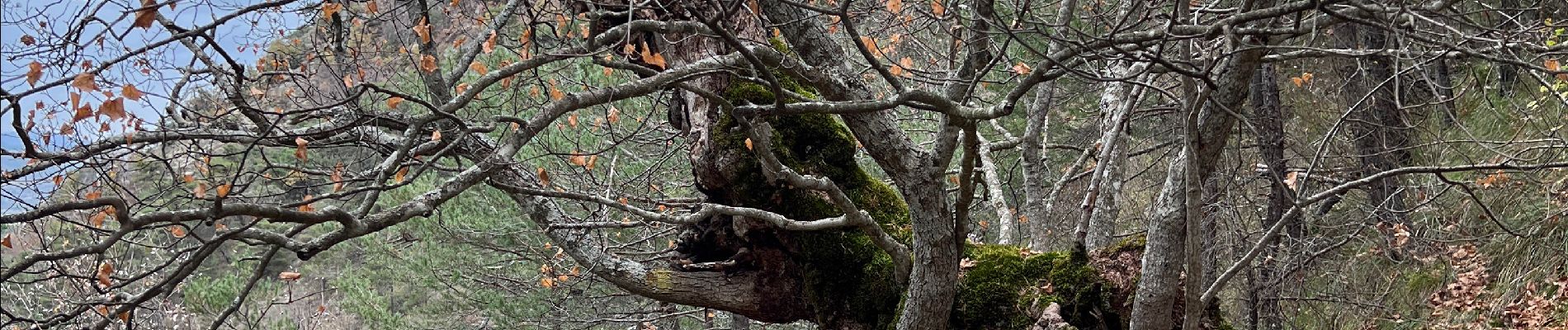
Trail Walking of 3.4 km to be discovered at Provence-Alpes-Côte d'Azur, Hautes-Alpes, Sorbiers. This trail is proposed by renaudma.
Photos


Positioning
Country:
France
Region :
Provence-Alpes-Côte d'Azur
Department/Province :
Hautes-Alpes
Municipality :
Sorbiers
Location:
Unknown
Start:(Dec)
Start:(UTM)
706028 ; 4913490 (31T) N.
Comments