


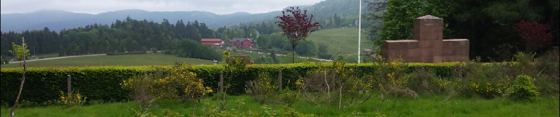
Donon sentier des casemates - sud

VacheKiri67
User


4h13
Difficulty : Medium

FREE GPS app for hiking
 SityTrail
IGN / Geographical institutes
SityTrail Plus
The world is yours!
About
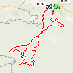
Trail Walking of 12.6 km to be discovered at Grand Est, Bas-Rhin, Grandfontaine. This trail is proposed by VacheKiri67.
Description
Faite le 24/05/2015 avec notre fils de 10 ans. Balisage anneau rouge. Lampe de poche obligatoire pour la passionnante traversée des ouvrages. D'après "Passion Vosges - Les sentiers de mémoire" N°4 : Positions fortifiées du Donon sentier des casemates - sud.
Photos


30 photos in total. Please click on a photo to see them all in the gallery.
Positioning
Comments
La traversée des ouvrages, dont un tunnel de 60 mètres, vaut vraiment le coup ! Lampe de poche obligatoire.