


Les cinq cols

Raymond DAVID
User


5h00
Difficulty : Medium

FREE GPS app for hiking
 SityTrail
IGN / Geographical institutes
SityTrail Plus
The world is yours!
About
Trail Walking of 14.4 km to be discovered at Occitania, Hérault, Rosis. This trail is proposed by Raymond DAVID .
Description
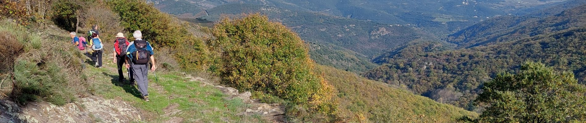
Au départ de Cours, près de St-Gervais sur Mare mais hameau de Rosis, une belle randonnée assez physique avec ses 600 m de dénivelé, ses passages sous bois, ses ruisseaux cascadants, ses belles vues et 2 courtes descentes très ravinées.
Attention, après Rosis et une montée à vue à travers bois, on arrive sur un grand chemin. Prendre à droite pour atteindre le col des Avels.
Photos


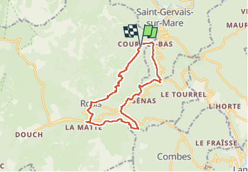
Positioning
Comments