


Dourgne la Capelette retour officiel fait 2024

pidjam
User

Length
14.9 km

Max alt
596 m

Uphill gradient
528 m
Km-Effort
22 km

Min alt
249 m

Downhill gradient
532 m
Boucle
Yes
Creation date :
2024-11-11 09:16:51.551
Updated on :
2024-11-11 16:12:24.353
3h52
Difficulty : Difficult

FREE GPS app for hiking
 SityTrail
IGN / Geographical institutes
SityTrail Plus
The world is yours!
About
Trail Walking of 14.9 km to be discovered at Occitania, Tarn, Dourgne. This trail is proposed by pidjam.
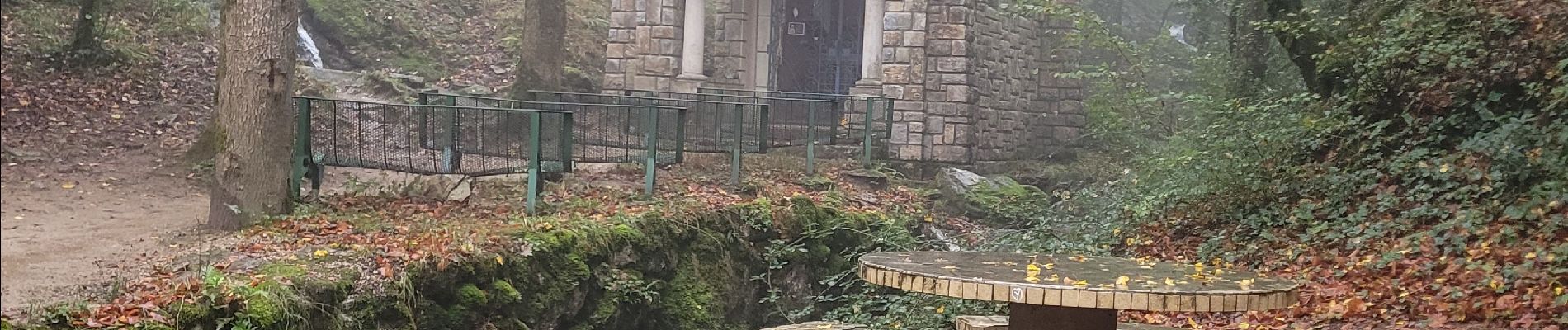
Photos

Positioning
Country:
France
Region :
Occitania
Department/Province :
Tarn
Municipality :
Dourgne
Location:
Unknown
Start:(Dec)
Start:(UTM)
430519 ; 4814755 (31T) N.
Comments