


Vins sur Caramy-13-11-2024

Christiancordin
User


Length
13.7 km

Max alt
330 m

Uphill gradient
346 m
Km-Effort
18.4 km

Min alt
186 m

Downhill gradient
360 m
Boucle
Yes
Creation date :
2024-11-13 09:03:28.095
Updated on :
2024-11-13 17:38:42.045
3h30
Difficulty : Medium

FREE GPS app for hiking
 SityTrail
IGN / Geographical institutes
SityTrail Plus
The world is yours!
About
Trail Walking of 13.7 km to be discovered at Provence-Alpes-Côte d'Azur, Var, Vins-sur-Caramy. This trail is proposed by Christiancordin.
Description
Pont médiéval, ubac du pont, monument, grotte des résistants, le mauvais plantier, le Caramy, la passerelle, GR 51, GR 653A, le château vieux, château de Vins.
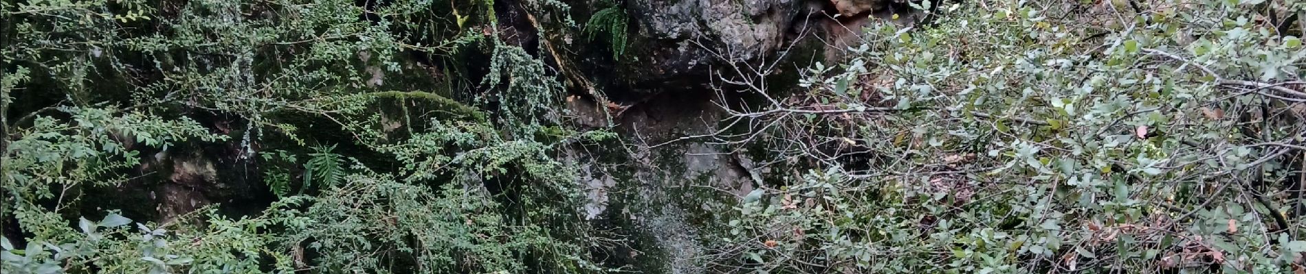
Photos


Positioning
Country:
France
Region :
Provence-Alpes-Côte d'Azur
Department/Province :
Var
Municipality :
Vins-sur-Caramy
Location:
Unknown
Start:(Dec)
Start:(UTM)
268632 ; 4812668 (32T) N.
Comments