


st jean de garguier

ARPF1
User
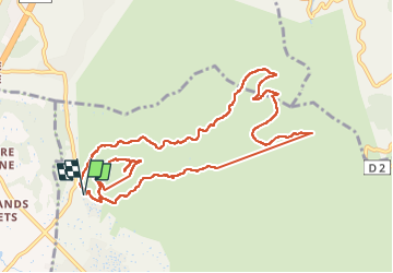

Length
12.6 km

Max alt
649 m

Uphill gradient
635 m
Km-Effort
21 km

Min alt
177 m

Downhill gradient
636 m
Boucle
Yes
Creation date :
2024-11-16 09:12:33.039
Updated on :
2024-11-16 14:17:23.797
3h39
Difficulty : Medium

FREE GPS app for hiking
 SityTrail
IGN / Geographical institutes
SityTrail Plus
The world is yours!
About
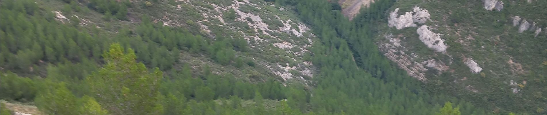
Trail Walking of 12.6 km to be discovered at Provence-Alpes-Côte d'Azur, Bouches-du-Rhône, Gémenos. This trail is proposed by ARPF1.
Photos

Positioning
Country:
France
Region :
Provence-Alpes-Côte d'Azur
Department/Province :
Bouches-du-Rhône
Municipality :
Gémenos
Location:
Unknown
Start:(Dec)
Start:(UTM)
712008 ; 4798889 (31T) N.
Comments