


Sainte-Cécile

Geert H.
User
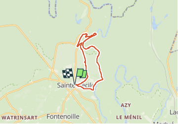

Length
10.5 km

Max alt
379 m

Uphill gradient
220 m
Km-Effort
13.4 km

Min alt
278 m

Downhill gradient
221 m
Boucle
Yes
Creation date :
2024-11-16 13:17:17.235
Updated on :
2024-11-16 19:45:30.15
2h07
Difficulty : Easy

FREE GPS app for hiking
 SityTrail
IGN / Geographical institutes
SityTrail Plus
The world is yours!
About
Trail Walking of 10.5 km to be discovered at Wallonia, Luxembourg, Florenville. This trail is proposed by Geert H..
Description
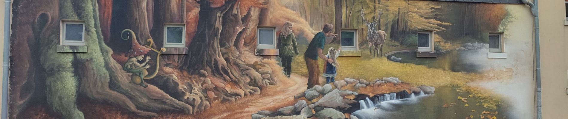
Uitzichtpunten bij de Semois
Route uit het Groot Wandelboek Ardennen
Photos


21 photos in total. Please click on a photo to see them all in the gallery.
Positioning
Country:
Belgium
Region :
Wallonia
Department/Province :
Luxembourg
Municipality :
Florenville
Location:
Unknown
Start:(Dec)
Start:(UTM)
661636 ; 5510968 (31U) N.
Comments