


La Paloire Rando Tamalous

kayamb
User


Length
11.3 km

Max alt
517 m

Uphill gradient
308 m
Km-Effort
15.6 km

Min alt
182 m

Downhill gradient
365 m
Boucle
No
Creation date :
2024-11-17 09:02:17.0
Updated on :
2024-11-17 14:56:46.67
3h29
Difficulty : Medium

FREE GPS app for hiking
 SityTrail
IGN / Geographical institutes
SityTrail Plus
The world is yours!
About
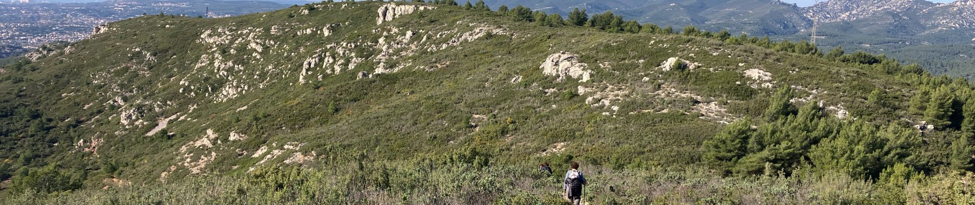
Trail Walking of 11.3 km to be discovered at Provence-Alpes-Côte d'Azur, Bouches-du-Rhône, Allauch. This trail is proposed by kayamb.
Photos


Positioning
Country:
France
Region :
Provence-Alpes-Côte d'Azur
Department/Province :
Bouches-du-Rhône
Municipality :
Allauch
Location:
Unknown
Start:(Dec)
Start:(UTM)
703327 ; 4804281 (31T) N.
Comments