


seillons vallon des abeilles

bernir
User


Length
11.8 km

Max alt
505 m

Uphill gradient
289 m
Km-Effort
15.6 km

Min alt
303 m

Downhill gradient
292 m
Boucle
Yes
Creation date :
2024-11-21 09:04:57.649
Updated on :
2024-11-23 14:06:52.101
3h32
Difficulty : Easy

FREE GPS app for hiking
 SityTrail
IGN / Geographical institutes
SityTrail Plus
The world is yours!
About
Trail Walking of 11.8 km to be discovered at Provence-Alpes-Côte d'Azur, Var, Seillons-Source-d'Argens. This trail is proposed by bernir.
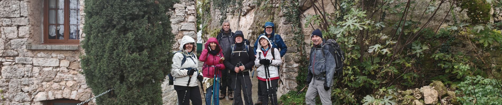
Photos


Positioning
Country:
France
Region :
Provence-Alpes-Côte d'Azur
Department/Province :
Var
Municipality :
Seillons-Source-d'Argens
Location:
Unknown
Start:(Dec)
Start:(UTM)
733378 ; 4820808 (31T) N.
Comments