


Esvres-sur-Indre - Veneuil Rouillers Hardellière - 24.5km 245m 5h20 (50mn) - 2024 11 23

Orcal37
User GUIDE
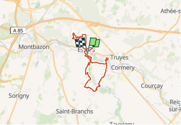

Length
25 km

Max alt
95 m

Uphill gradient
247 m
Km-Effort
28 km

Min alt
55 m

Downhill gradient
248 m
Boucle
Yes
Creation date :
2024-11-23 09:24:11.34
Updated on :
2024-11-24 15:16:28.17
5h20
Difficulty : Medium

FREE GPS app for hiking
 SityTrail
IGN / Geographical institutes
SityTrail Plus
The world is yours!
About
Trail Walking of 25 km to be discovered at Centre-Loire Valley, Indre-et-Loire, Esvres. This trail is proposed by Orcal37.
Description
Esvres-sur-Indre - Bas Veneuil - les Rouillers - la Hardellière - via PRs GRs Trails - 24.5km 245m 5h20 (50mn) - 2024 11 23
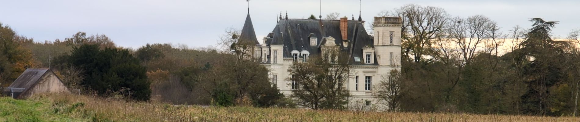
Photos
 - 2024 11 23 - Photo 1")
 - 2024 11 23 - Photo 2")
 - 2024 11 23 - Photo 3")
 - 2024 11 23 - Photo 4")
 - 2024 11 23 - Photo 5")
 - 2024 11 23 - Photo 6")
 - 2024 11 23 - Photo 7")
 - 2024 11 23 - Photo 8")
 - 2024 11 23 - Photo 9")
 - 2024 11 23 - Photo 10")
 - 2024 11 23 - Photo 11")
 - 2024 11 23 - Photo 12")
 - 2024 11 23 - Photo 13")
 - 2024 11 23 - Photo 14")
Positioning
Country:
France
Region :
Centre-Loire Valley
Department/Province :
Indre-et-Loire
Municipality :
Esvres
Location:
Unknown
Start:(Dec)
Start:(UTM)
332772 ; 5238753 (31T) N.
Comments