


randogps34-1123

ARVIEU
User
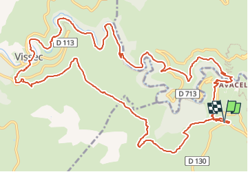

Length
18 km

Max alt
701 m

Uphill gradient
587 m
Km-Effort
26 km

Min alt
330 m

Downhill gradient
588 m
Boucle
Yes
Creation date :
2024-11-25 06:27:06.446
Updated on :
2024-11-25 06:29:47.527
6h00
Difficulty : Medium

FREE GPS app for hiking
 SityTrail
IGN / Geographical institutes
SityTrail Plus
The world is yours!
About
Trail Walking of 18 km to be discovered at Occitania, Hérault, Saint-Maurice-Navacelles. This trail is proposed by ARVIEU.
Positioning
Country:
France
Region :
Occitania
Department/Province :
Hérault
Municipality :
Saint-Maurice-Navacelles
Location:
Unknown
Start:(Dec)
Start:(UTM)
540841 ; 4859495 (31T) N.
Comments