


Sentiers sauvage de Méthamis

supercolas
User GUIDE


2h10
Difficulty : Medium

FREE GPS app for hiking
 SityTrail
IGN / Geographical institutes
SityTrail Plus
The world is yours!
About
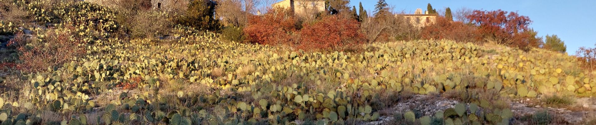
Trail Walking of 7.1 km to be discovered at Provence-Alpes-Côte d'Azur, Vaucluse, Méthamis. This trail is proposed by supercolas.
Description
Rando courte mais sportive, sur les traces des vieux sentiers de Méthamis. A éviter après un épisode pluvieux (ça glisse !!!!)
Photos


21 photos in total. Please click on a photo to see them all in the gallery.
Positioning
Comments