


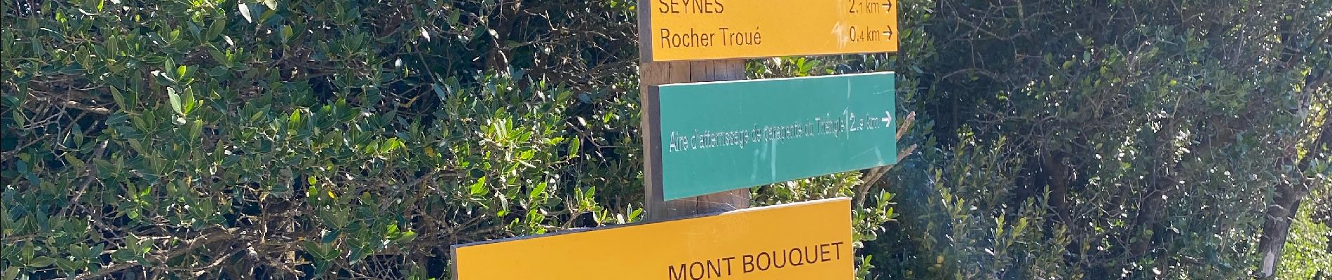
Mont Bouquet

Roger Philippe Wallez
User GUIDE


Length
11 km

Max alt
627 m

Uphill gradient
426 m
Km-Effort
16.6 km

Min alt
199 m

Downhill gradient
424 m
Boucle
Yes
Creation date :
2024-11-30 09:56:33.0
Updated on :
2024-11-30 20:28:28.915
10h30
Difficulty : Difficult

FREE GPS app for hiking
 SityTrail
IGN / Geographical institutes
SityTrail Plus
The world is yours!
About
Trail Walking of 11 km to be discovered at Occitania, Gard, Brouzet-lès-Alès. This trail is proposed by Roger Philippe Wallez.
Photos

Positioning
Country:
France
Region :
Occitania
Department/Province :
Gard
Municipality :
Brouzet-lès-Alès
Location:
Unknown
Start:(Dec)
Start:(UTM)
599594 ; 4887817 (31T) N.
Comments