


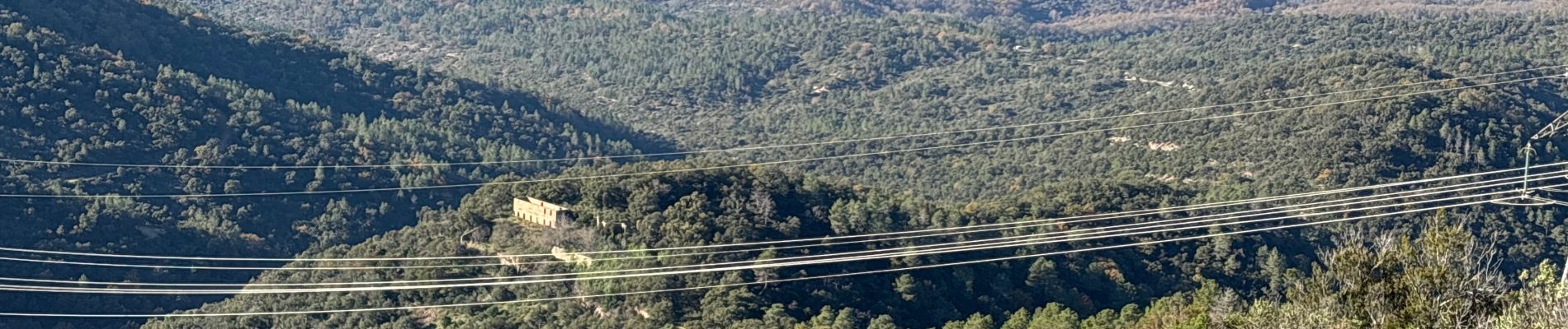
Bagnols en Forêt - Bonnefoy

GeorgesV.
User
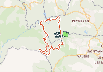

Length
16.1 km

Max alt
519 m

Uphill gradient
508 m
Km-Effort
23 km

Min alt
168 m

Downhill gradient
510 m
Boucle
Yes
Creation date :
2024-12-01 07:59:08.0
Updated on :
2024-12-01 14:18:53.767

FREE GPS app for hiking
 SityTrail
IGN / Geographical institutes
SityTrail Plus
The world is yours!
About
Trail of 16.1 km to be discovered at Provence-Alpes-Côte d'Azur, Var, Bagnols-en-Forêt. This trail is proposed by GeorgesV..
Photos

Positioning
Country:
France
Region :
Provence-Alpes-Côte d'Azur
Department/Province :
Var
Municipality :
Bagnols-en-Forêt
Location:
Unknown
Start:(Dec)
Start:(UTM)
310890 ; 4824283 (32T) N.
Comments