


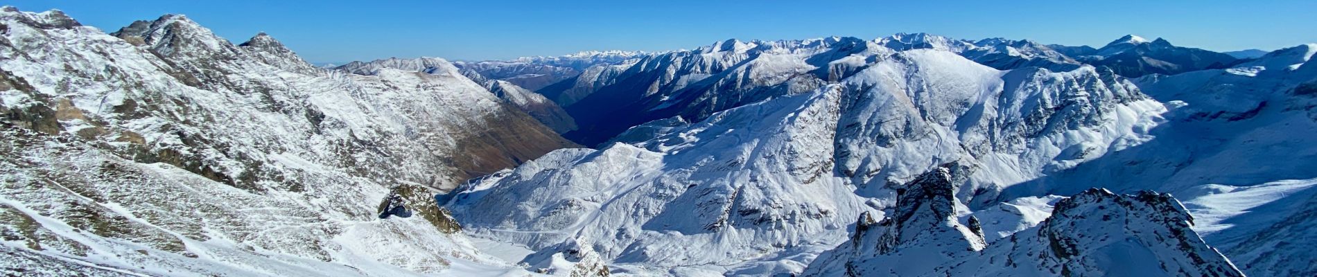
Lenquo de capo depuis Piau-Engaly

lebarça
User


Length
8.9 km

Max alt
2705 m

Uphill gradient
909 m
Km-Effort
21 km

Min alt
1812 m

Downhill gradient
908 m
Boucle
Yes
Creation date :
2024-12-04 08:28:23.0
Updated on :
2024-12-05 14:34:38.126
4h46
Difficulty : Difficult

FREE GPS app for hiking
 SityTrail
IGN / Geographical institutes
SityTrail Plus
The world is yours!
About
Trail On foot of 8.9 km to be discovered at Occitania, Hautespyrenees, Aragnouet. This trail is proposed by lebarça.
Photos

Positioning
Country:
France
Region :
Occitania
Department/Province :
Hautespyrenees
Municipality :
Aragnouet
Location:
Unknown
Start:(Dec)
Start:(UTM)
267367 ; 4741068 (31T) N.
Comments