


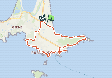
Tour de la presqu'île de Giens est - Cap Esterel

Daniel.BRUN-PICARD
User


2h38
Difficulty : Medium

FREE GPS app for hiking
 SityTrail
IGN / Geographical institutes
SityTrail Plus
The world is yours!
About
Trail Walking of 9.6 km to be discovered at Provence-Alpes-Côte d'Azur, Var, Hyères. This trail is proposed by Daniel.BRUN-PICARD.
Description
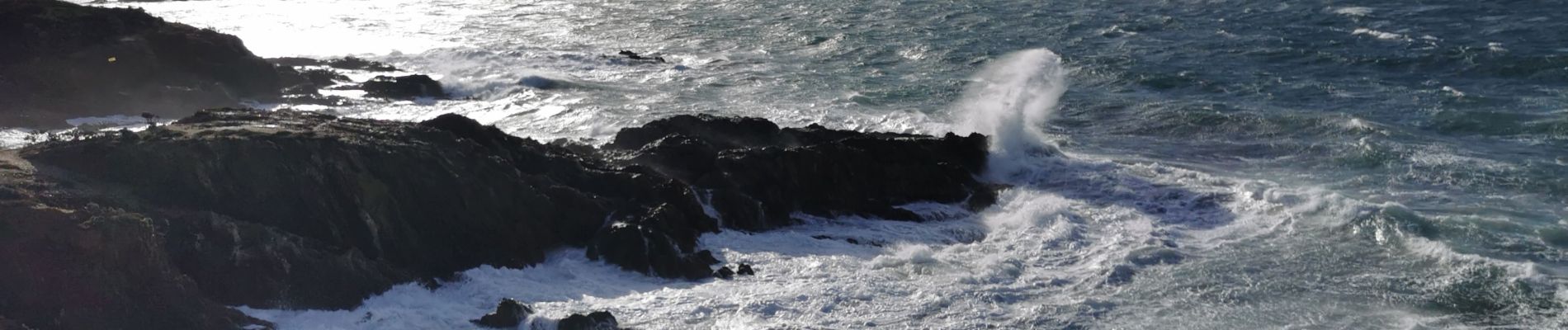
Randonnée faite par grand vent, avec de super points de vue sur la mer agitée. Il a fallut faire un détour par le domaine du club Belambra pour éviter les vagues qui submergeaient le sentier du littoral. Merci à nos animateurs du Touring Club du Var.
Photos


Positioning
Comments