Trail Walking Dentergem - Wakken - Photo
 Geert H.
Geert H.

User

© OpenStreetMap contributors
Length
Length
17.6 km
Max alt
Max alt
40 m
Uphill gradient
Uphill gradient
109 m
Km-Effort
Km-Effort  
19.1 km
Min alt
Min alt
2 m
Downhill gradient
Downhill gradient
108 m
Boucle
Boucle
Yes
Creation date :
2024-12-08 09:47:40.519
Updated on :
2024-12-11 19:05:43.761

(0 Reviews)

Walking
Walking
4h20
Difficulty : Very easy

Scan this QR Code to open this trail in the SityTrail application

FREE GPS app for hiking

Logo SityTrail SityTrail

IGN / Geographical institutes

Download SityTrail from the App Store Download SityTrail from Google Play

Logo SityTrail SityTrail Plus

The world is yours!

Download SityTrail from the App Store Download SityTrail from Google Play Download SityTrail on Huawei AppGallery

About

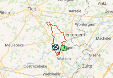
Trail Walking of 17.6 km to be discovered at Flanders, West Flanders, Dentergem. This trail is proposed by Geert H..

Description

Gebaseerd op wandeling nr. 63 uit "Het Groot Wandelboek Vlaanderen"
Vanuit betoverend weideland; voorbij de eeuwenoude Mandel, naar de Poelberg.

Boven op de poelberg is er een uitstekende brasserie te vinden in een voormalinge kloosterschool www.brasseriepoelberg.be

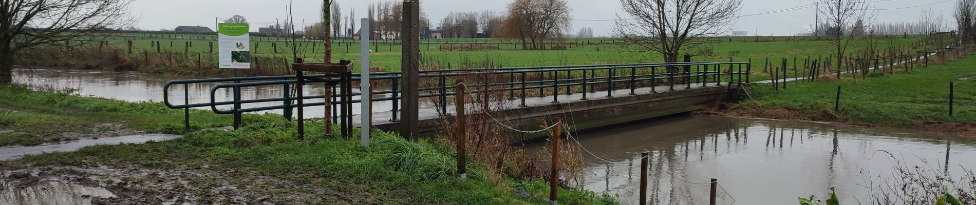
Opgelet, de paden lagen er bij ons na veel regen heel moderig bij dus waterdichte schoenen waar geen luxe.

Elevation profile

Photos

Points of interest

Point of interest Wielsbeke - o'bio - Photo
Geert H.
WIELSBEKE 

Positioning

Country:
Belgium
Region :
Flanders
Department/Province :
West Flanders
Municipality :
Dentergem
Location:
Wakken
Start:(UTM)
527244 ; 5642776 (31U) N.


Close
My subscriptions