


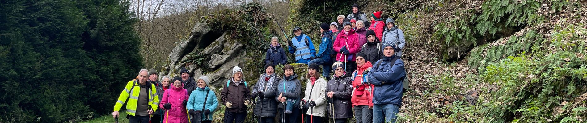
Arpsa Blesmes

Jluc02
User
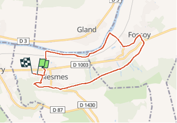

Length
8.3 km

Max alt
142 m

Uphill gradient
123 m
Km-Effort
9.9 km

Min alt
56 m

Downhill gradient
123 m
Boucle
Yes
Creation date :
2024-12-10 12:49:59.0
Updated on :
2024-12-10 17:28:42.938
2h14
Difficulty : Medium

FREE GPS app for hiking
 SityTrail
IGN / Geographical institutes
SityTrail Plus
The world is yours!
About
Trail Walking of 8.3 km to be discovered at Hauts-de-France, Aisne, Blesmes. This trail is proposed by Jluc02.
Photos


Positioning
Country:
France
Region :
Hauts-de-France
Department/Province :
Aisne
Municipality :
Blesmes
Location:
Unknown
Start:(Dec)
Start:(UTM)
532579 ; 5431837 (31U) N.
Comments