


Fondettes Vallières - Luynes Le Vieux-Bourg - 26.1km 360m 5h30 (45mn) - 2024 12 11

Orcal37
User GUIDE
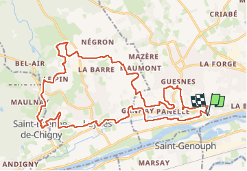

Length
26 km

Max alt
103 m

Uphill gradient
362 m
Km-Effort
31 km

Min alt
41 m

Downhill gradient
361 m
Boucle
Yes
Creation date :
2024-12-11 09:08:17.627
Updated on :
2024-12-15 15:03:47.157
5h30
Difficulty : Medium

FREE GPS app for hiking
 SityTrail
IGN / Geographical institutes
SityTrail Plus
The world is yours!
About
Trail Walking of 26 km to be discovered at Centre-Loire Valley, Indre-et-Loire, Fondettes. This trail is proposed by Orcal37.
Description
Fondettes Vallières - Luynes - Le Vieux-Bourg de Saint-Étienne-de-Chigny - via PRs - 26.1km 360m 5h30 (45mn) - 2024 12 11
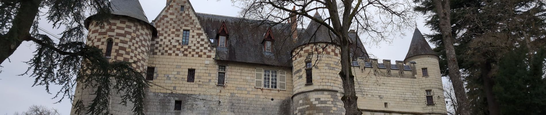
Photos
 - 2024 12 11 - Photo 1")
 - 2024 12 11 - Photo 2")
 - 2024 12 11 - Photo 3")
 - 2024 12 11 - Photo 4")
 - 2024 12 11 - Photo 5")
 - 2024 12 11 - Photo 6")
 - 2024 12 11 - Photo 7")
 - 2024 12 11 - Photo 8")
 - 2024 12 11 - Photo 9")
 - 2024 12 11 - Photo 10")
 - 2024 12 11 - Photo 11")
Positioning
Country:
France
Region :
Centre-Loire Valley
Department/Province :
Indre-et-Loire
Municipality :
Fondettes
Location:
Unknown
Start:(Dec)
Start:(UTM)
319631 ; 5251014 (31T) N.
Comments