Trail Touring skiing Sarcenas - 151224 Vers Chamechaude - Photo

151224 Vers Chamechaude

© OpenStreetMap contributors
Length
Length
6.7 km
Max alt
Max alt
2022 m
Uphill gradient
Uphill gradient
752 m
Km-Effort
Km-Effort  
16.7 km
Min alt
Min alt
1260 m
Downhill gradient
Downhill gradient
753 m
Boucle
Boucle
Yes
Creation date :
2024-12-15 09:04:05.253
Updated on :
2024-12-15 19:14:36.0

(0 Reviews)

Touring skiing
Touring skiing
2h58
Difficulty : Very easy

Scan this QR Code to open this trail in the SityTrail application

FREE GPS app for hiking

Logo SityTrail SityTrail

IGN / Geographical institutes

Download SityTrail from the App Store Download SityTrail from Google Play

Logo SityTrail SityTrail Plus

The world is yours!

Download SityTrail from the App Store Download SityTrail from Google Play Download SityTrail on Huawei AppGallery

About

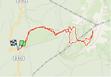
Trail Touring skiing of 6.7 km to be discovered at Auvergne-Rhône-Alpes, Isère, Sarcenas. This trail is proposed by mzonzon05.

Description

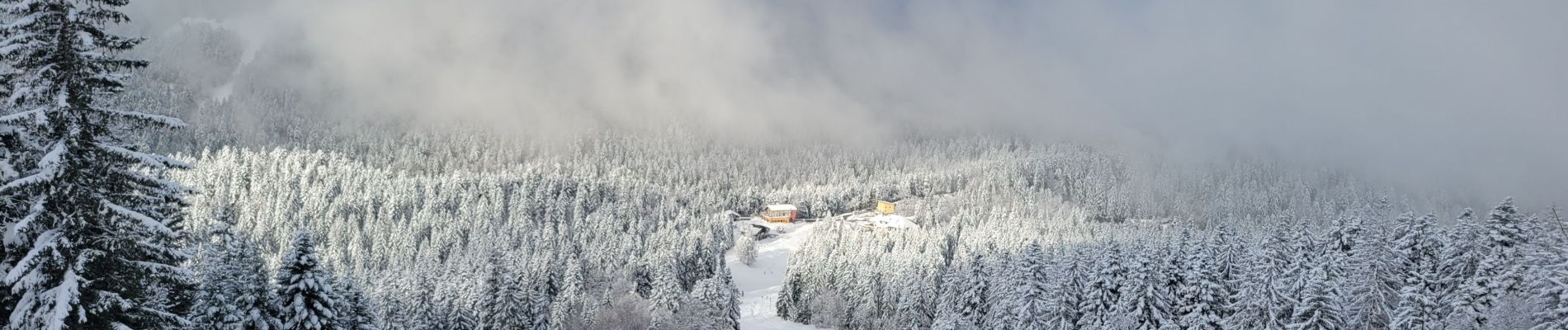
très belle montée dégagée mais un peu de brouillard à la descente. ATTENTION un passage dangereux avec une corde à noeuds sur 5 m . Pas évident avec des skis. Ce passage s'appelle la Voie du Cirque. Heureusement, jolie descente ensuite.

Elevation profile

Photos

Positioning

Country:
France
Region :
Auvergne-Rhône-Alpes
Department/Province :
Isère
Municipality :
Sarcenas
Location:
Unknown
Start:(UTM)
716938 ; 5018038 (31T) N.


Close
My subscriptions