


Ajoupa - St Pierre

Lamartiniere
User GUIDE
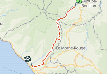

Length
13.1 km

Max alt
776 m

Uphill gradient
393 m
Km-Effort
19.6 km

Min alt
40 m

Downhill gradient
769 m
Boucle
No
Creation date :
2024-12-18 18:16:10.228
Updated on :
2025-02-04 21:29:50.104
4h00
Difficulty : Difficult

FREE GPS app for hiking
 SityTrail
IGN / Geographical institutes
SityTrail Plus
The world is yours!
About
Trail Walking of 13.1 km to be discovered at Martinique, Unknown, L'Ajoupa-Bouillon. This trail is proposed by Lamartiniere.
Description
Randonnée pour marcheurs aguerris. Passage au moyen de cordes difficile dans le talweg de la Roxelane. A vérifier avant de s'y aventurer en groupe.
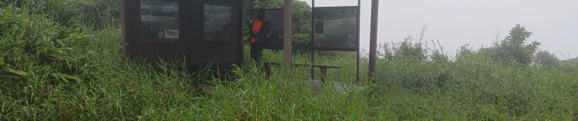
Photos

Positioning
Country:
France
Region :
Martinique
Department/Province :
Unknown
Municipality :
L'Ajoupa-Bouillon
Location:
Unknown
Start:(Dec)
Start:(UTM)
701281 ; 1639287 (20P) N.
Comments