


boucle Aachen

Lychee
User

Length
4.2 km

Max alt
352 m

Uphill gradient
106 m
Km-Effort
5.7 km

Min alt
261 m

Downhill gradient
114 m
Boucle
Yes
Creation date :
2024-12-20 13:15:14.892
Updated on :
2024-12-20 14:48:50.142
1h33
Difficulty : Easy

FREE GPS app for hiking
 SityTrail
IGN / Geographical institutes
SityTrail Plus
The world is yours!
About
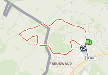
Trail Walking of 4.2 km to be discovered at North Rhine-Westphalia, Städteregion Aachen, Aachen. This trail is proposed by Lychee.
Positioning
Country:
Germany
Region :
North Rhine-Westphalia
Department/Province :
Städteregion Aachen
Municipality :
Aachen
Location:
Aachen-Mitte
Start:(Dec)
Start:(UTM)
291920 ; 5625258 (32U) N.
Comments