


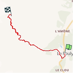


37 km | 70 km-effort

User


FREE GPS app for hiking
 SityTrail
IGN / Geographical institutes
SityTrail World
The world is yours!
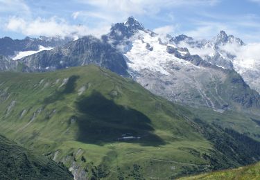
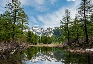
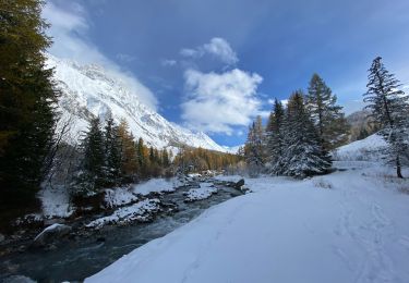
Trail Walking of 5.4 km to be discovered at Valais/Wallis, Entremont, Orsières. This trail is proposed by verbier.
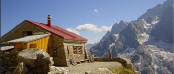
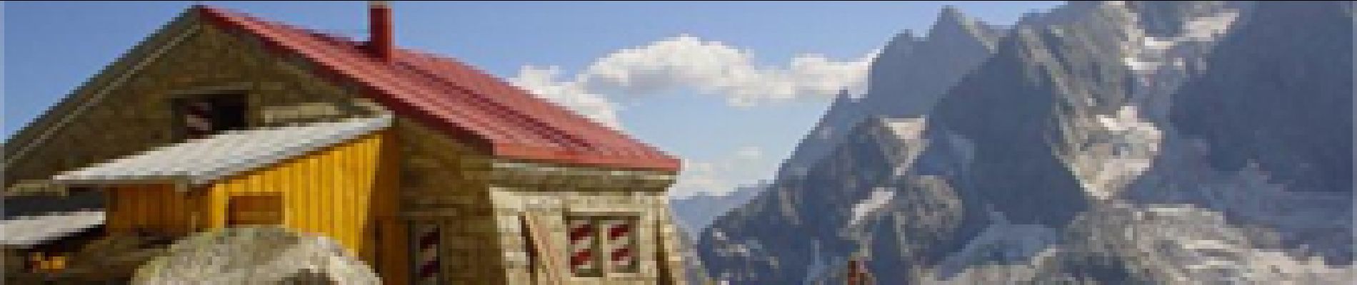
Départ de La Fouly vers le camping, sentier qui monte le long de la reuse de l''Amône jusqu''au lieu dit Pierre Javelle. Continuer le sentier sinueux, avec passage de chaînes, jusqu''à la cabane de l''A Neuve, située à côté du glacier du même nom.

On foot
On foot
On foot

Walking
Walking
Walking

Walking
Walking
Walking