


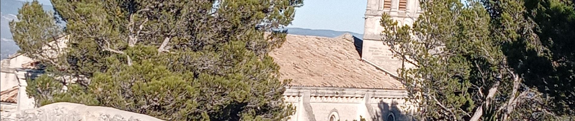
Orgon Et ses alentours

FLORENSAC
User
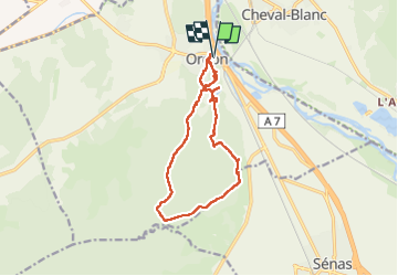

Length
13.7 km

Max alt
273 m

Uphill gradient
322 m
Km-Effort
18 km

Min alt
85 m

Downhill gradient
324 m
Boucle
Yes
Creation date :
2024-12-27 09:03:09.486
Updated on :
2024-12-27 14:24:15.714
5h20
Difficulty : Difficult

FREE GPS app for hiking
 SityTrail
IGN / Geographical institutes
SityTrail Plus
The world is yours!
About
Trail Walking of 13.7 km to be discovered at Provence-Alpes-Côte d'Azur, Bouches-du-Rhône, Orgon. This trail is proposed by FLORENSAC.
Photos


Positioning
Country:
France
Region :
Provence-Alpes-Côte d'Azur
Department/Province :
Bouches-du-Rhône
Municipality :
Orgon
Location:
Unknown
Start:(Dec)
Start:(UTM)
664270 ; 4850693 (31T) N.
Comments