


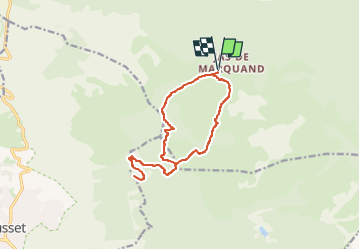
Le Rocher de l'AIGUE par Maramoye

francisdean
User

Length
14.6 km

Max alt
609 m

Uphill gradient
371 m
Km-Effort
19.6 km

Min alt
438 m

Downhill gradient
371 m
Boucle
Yes
Creation date :
2024-12-28 08:12:31.683
Updated on :
2025-01-17 08:20:09.271
4h27
Difficulty : Difficult

FREE GPS app for hiking
 SityTrail
IGN / Geographical institutes
SityTrail Plus
The world is yours!
About
Trail Walking of 14.6 km to be discovered at Provence-Alpes-Côte d'Azur, Var, Signes. This trail is proposed by francisdean.
Positioning
Country:
France
Region :
Provence-Alpes-Côte d'Azur
Department/Province :
Var
Municipality :
Signes
Location:
Unknown
Start:(Dec)
Start:(UTM)
733799 ; 4791314 (31T) N.
Comments