


st victoire

ARPF1
User
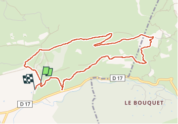

Length
5.8 km

Max alt
428 m

Uphill gradient
192 m
Km-Effort
8.4 km

Min alt
254 m

Downhill gradient
199 m
Boucle
Yes
Creation date :
2024-12-28 13:03:30.496
Updated on :
2024-12-28 14:45:42.285
1h33
Difficulty : Easy

FREE GPS app for hiking
 SityTrail
IGN / Geographical institutes
SityTrail Plus
The world is yours!
About
Trail Walking of 5.8 km to be discovered at Provence-Alpes-Côte d'Azur, Bouches-du-Rhône, Beaurecueil. This trail is proposed by ARPF1.
Description
randonnée facile
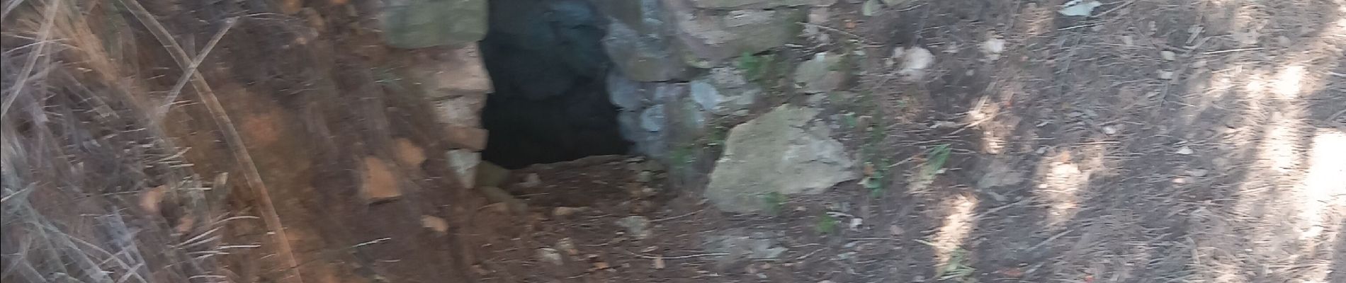
Photos


Positioning
Country:
France
Region :
Provence-Alpes-Côte d'Azur
Department/Province :
Bouches-du-Rhône
Municipality :
Beaurecueil
Location:
Unknown
Start:(Dec)
Start:(UTM)
705914 ; 4822073 (31T) N.
Comments