


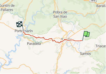

15.5 km | 18.8 km-effort


User


FREE GPS app for hiking
 SityTrail
IGN / Geographical institutes
SityTrail World
The world is yours!
Trail Walking of 30 km to be discovered at Galicia, Lugo, Sarria. This trail is proposed by Jean-MarieFaux.
Pintin. Portomarin
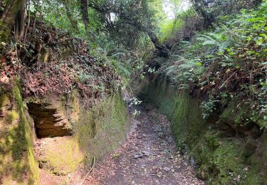
Walking
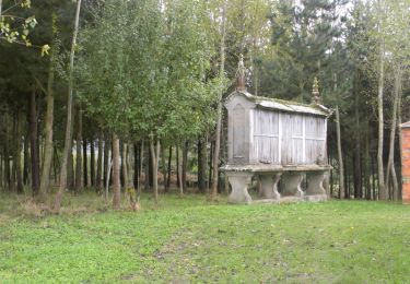
Walking

Walking