


Champdray

francoisecarlier
User
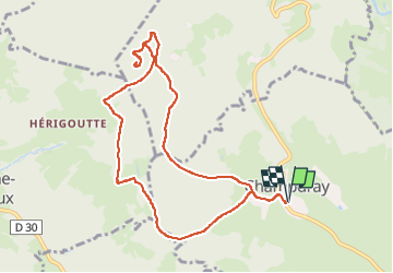

Length
9.6 km

Max alt
748 m

Uphill gradient
216 m
Km-Effort
12.4 km

Min alt
660 m

Downhill gradient
217 m
Boucle
Yes
Creation date :
2025-01-01 10:05:00.0
Updated on :
2025-01-01 12:08:34.379

FREE GPS app for hiking
 SityTrail
IGN / Geographical institutes
SityTrail Plus
The world is yours!
About
Trail of 9.6 km to be discovered at Grand Est, Vosges, Champdray. This trail is proposed by francoisecarlier.
Positioning
Country:
France
Region :
Grand Est
Department/Province :
Vosges
Municipality :
Champdray
Location:
Unknown
Start:(Dec)
Start:(UTM)
332884 ; 5333674 (32U) N.
Comments