


pater noter col de vence

Christine Cadas
User

Length
49 km

Max alt
1133 m

Uphill gradient
1520 m
Km-Effort
67 km

Min alt
242 m

Downhill gradient
908 m
Boucle
No
Creation date :
2024-12-31 15:38:31.43
Updated on :
2025-01-01 15:34:18.259
23h35
Difficulty : Very difficult

FREE GPS app for hiking
 SityTrail
IGN / Geographical institutes
SityTrail Plus
The world is yours!
About
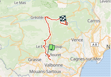
Trail Walking of 49 km to be discovered at Provence-Alpes-Côte d'Azur, Maritime Alps, Châteauneuf-Grasse. This trail is proposed by Christine Cadas.
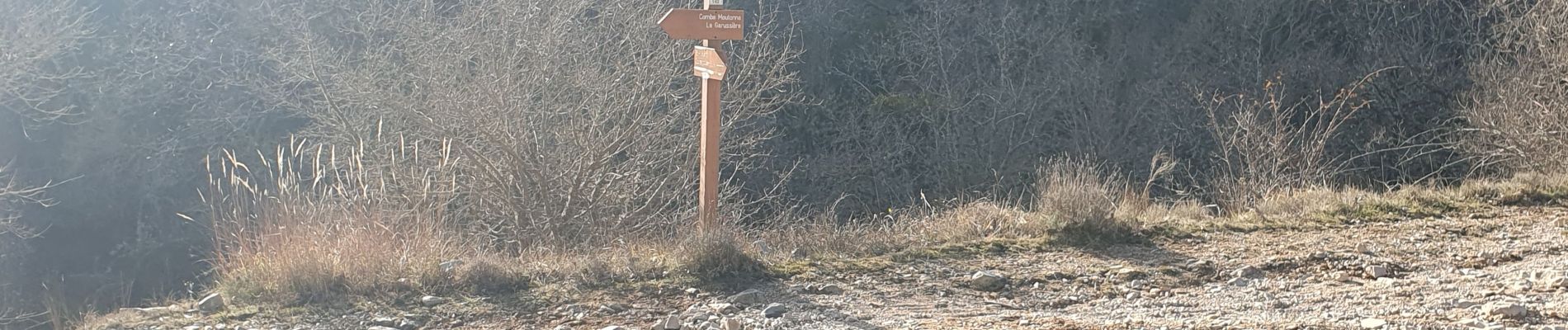
Photos

Positioning
Country:
France
Region :
Provence-Alpes-Côte d'Azur
Department/Province :
Maritime Alps
Municipality :
Châteauneuf-Grasse
Location:
Unknown
Start:(Dec)
Start:(UTM)
337268 ; 4837757 (32T) N.
Comments