


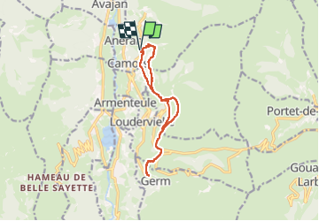
Fréchet St Calixte Mont Germ par le chemin de la Serre retour par le GR

JMFr
User

Length
12.2 km

Max alt
1395 m

Uphill gradient
433 m
Km-Effort
18 km

Min alt
1118 m

Downhill gradient
432 m
Boucle
Yes
Creation date :
2025-01-07 10:46:58.089
Updated on :
2025-01-07 15:52:27.519
3h25
Difficulty : Medium

FREE GPS app for hiking
 SityTrail
IGN / Geographical institutes
SityTrail Plus
The world is yours!
About
Trail Walking of 12.2 km to be discovered at Occitania, Hautespyrenees, Cazaux-Fréchet-Anéran-Camors. This trail is proposed by JMFr.
Positioning
Country:
France
Region :
Occitania
Department/Province :
Hautespyrenees
Municipality :
Cazaux-Fréchet-Anéran-Camors
Location:
Unknown
Start:(Dec)
Start:(UTM)
289128 ; 4745207 (31T) N.
Comments