


Balade des Amis 2025

supercolas
User GUIDE


Length
10.8 km

Max alt
371 m

Uphill gradient
176 m
Km-Effort
13.2 km

Min alt
240 m

Downhill gradient
176 m
Boucle
Yes
Creation date :
2025-01-11 09:16:47.638
Updated on :
2025-01-11 15:12:08.83
2h35
Difficulty : Medium

FREE GPS app for hiking
 SityTrail
IGN / Geographical institutes
SityTrail Plus
The world is yours!
About
Trail Walking of 10.8 km to be discovered at Provence-Alpes-Côte d'Azur, Vaucluse, Mormoiron. This trail is proposed by supercolas.
Description
Sablières et terroirs Mormoironnais
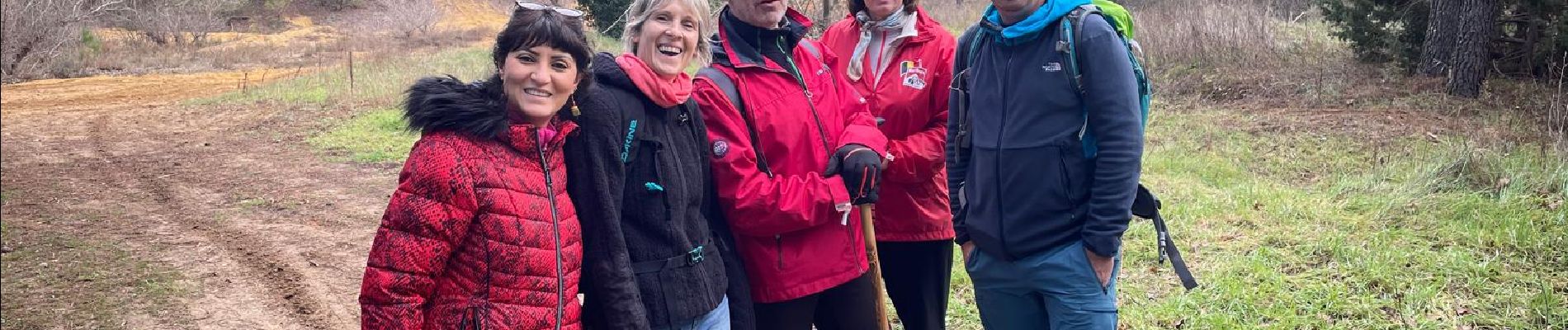
Photos

Positioning
Country:
France
Region :
Provence-Alpes-Côte d'Azur
Department/Province :
Vaucluse
Municipality :
Mormoiron
Location:
Unknown
Start:(Dec)
Start:(UTM)
675951 ; 4881899 (31T) N.
Comments