


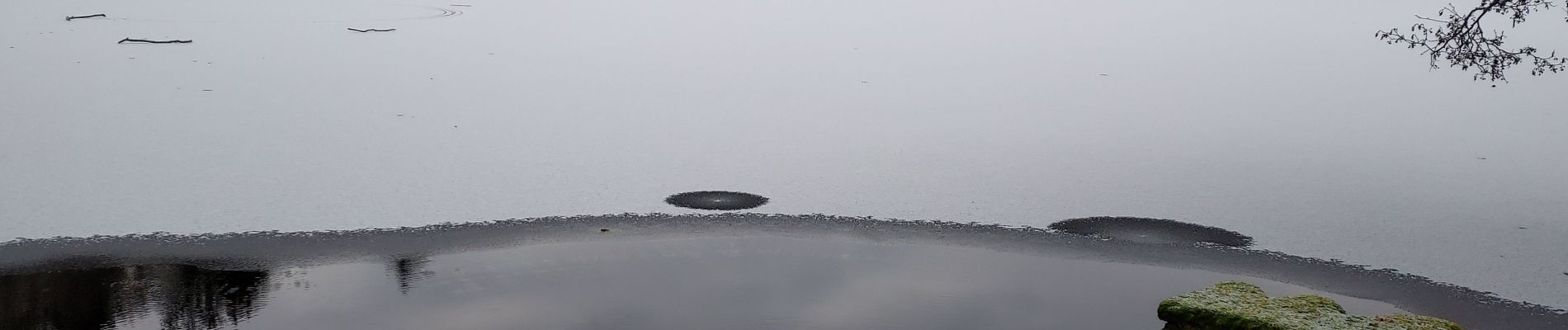
Étang Hasselfurth 250112

Specialized77
User GUIDE


Length
9.9 km

Max alt
429 m

Uphill gradient
243 m
Km-Effort
13.1 km

Min alt
295 m

Downhill gradient
244 m
Boucle
Yes
Creation date :
2025-01-12 08:10:51.175
Updated on :
2025-01-12 14:48:53.074
3h00
Difficulty : Medium

FREE GPS app for hiking
 SityTrail
IGN / Geographical institutes
SityTrail Plus
The world is yours!
About
Trail Walking of 9.9 km to be discovered at Grand Est, Moselle, Bitche. This trail is proposed by Specialized77.
Description
Avec CRP Bitche
Photos


Positioning
Country:
France
Region :
Grand Est
Department/Province :
Moselle
Municipality :
Bitche
Location:
Unknown
Start:(Dec)
Start:(UTM)
386040 ; 5433028 (32U) N.
Comments