


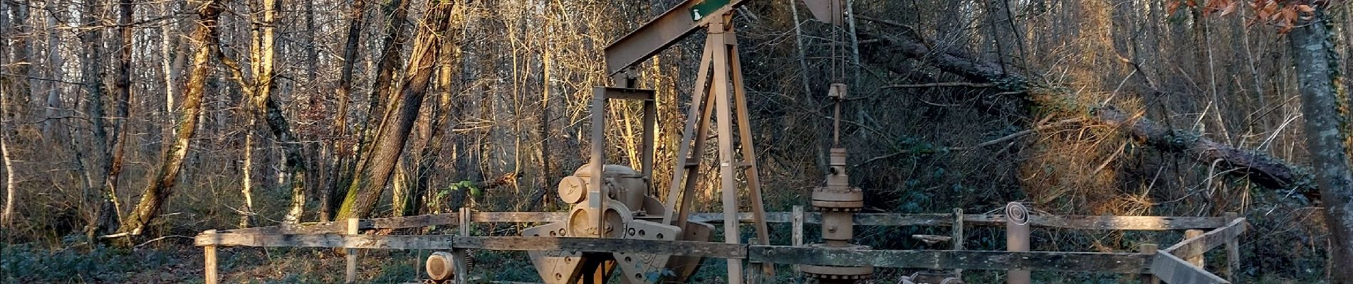
Épine foreuse

aubr
User
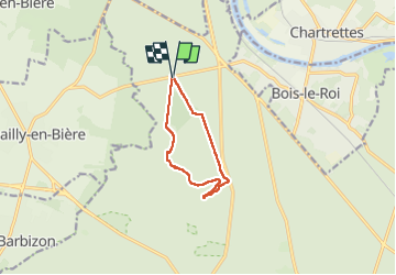

Length
8.1 km

Max alt
139 m

Uphill gradient
99 m
Km-Effort
9.4 km

Min alt
81 m

Downhill gradient
99 m
Boucle
Yes
Creation date :
2025-01-13 13:45:05.033
Updated on :
2025-01-13 17:40:32.661
2h08
Difficulty : Medium

FREE GPS app for hiking
 SityTrail
IGN / Geographical institutes
SityTrail Plus
The world is yours!
About
Trail Walking of 8.1 km to be discovered at Ile-de-France, Seine-et-Marne, Fontainebleau. This trail is proposed by aubr.
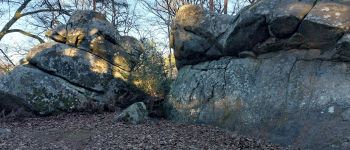
Photos


Positioning
Country:
France
Region :
Ile-de-France
Department/Province :
Seine-et-Marne
Municipality :
Fontainebleau
Location:
Unknown
Start:(Dec)
Start:(UTM)
474310 ; 5369568 (31U) N.
Comments