


1 Mas de Londres par la Borie du 14/01/2025

VANDERPUTTENMi
User GUIDE
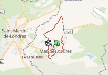

Length
6 km

Max alt
240 m

Uphill gradient
75 m
Km-Effort
7 km

Min alt
172 m

Downhill gradient
74 m
Boucle
Yes
Creation date :
2025-01-16 08:31:46.481
Updated on :
2025-01-18 10:21:57.275
1h24
Difficulty : Medium

FREE GPS app for hiking
 SityTrail
IGN / Geographical institutes
SityTrail Plus
The world is yours!
About
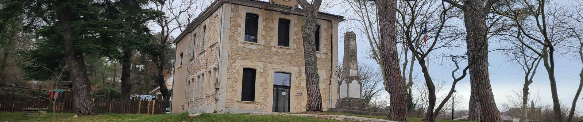
Trail Walking of 6 km to be discovered at Occitania, Hérault, Mas-de-Londres. This trail is proposed by VANDERPUTTENMi.
Photos


Positioning
Country:
France
Region :
Occitania
Department/Province :
Hérault
Municipality :
Mas-de-Londres
Location:
Unknown
Start:(Dec)
Start:(UTM)
560746 ; 4848251 (31T) N.
Comments