


Reco circuit Trail Ocres et Limons (avec variante !!!)

supercolas
User GUIDE


Length
24 km

Max alt
371 m

Uphill gradient
632 m
Km-Effort
33 km

Min alt
205 m

Downhill gradient
638 m
Boucle
Yes
Creation date :
2025-01-18 12:54:01.883
Updated on :
2025-01-18 17:10:11.041
2h05
Difficulty : Medium

FREE GPS app for hiking
 SityTrail
IGN / Geographical institutes
SityTrail Plus
The world is yours!
About
Trail Mountain bike of 24 km to be discovered at Provence-Alpes-Côte d'Azur, Vaucluse, Mormoiron. This trail is proposed by supercolas.
Description
Mormoiron Parcours 26 Km
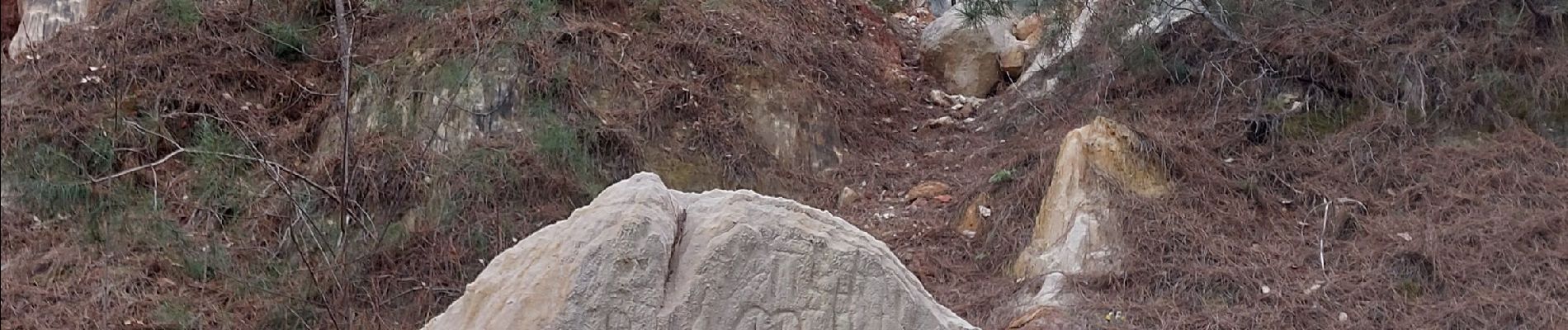
Photos
 - Photo 1")
 - Photo 2")
 - Photo 3")
Positioning
Country:
France
Region :
Provence-Alpes-Côte d'Azur
Department/Province :
Vaucluse
Municipality :
Mormoiron
Location:
Unknown
Start:(Dec)
Start:(UTM)
674537 ; 4881684 (31T) N.
Comments