Trail Walking Plaisir - rando du 11/06/2015 - Photo

rando du 11/06/2015

 microb
microb

User

© OpenStreetMap contributors
Length
Length
3.4 km
Max alt
Max alt
159 m
Uphill gradient
Uphill gradient
65 m
Km-Effort
Km-Effort  
4.3 km
Min alt
Min alt
113 m
Downhill gradient
Downhill gradient
65 m
Boucle
Boucle
Yes
Creation date :
2018-06-02 00:00:00.0
Updated on :
2018-06-02 00:00:00.0

(0 Reviews)

Walking
Walking
54m
Difficulty : Easy

Scan this QR Code to open this trail in the SityTrail application

FREE GPS app for hiking

Logo SityTrail SityTrail

IGN / Geographical institutes

Download SityTrail from the App Store Download SityTrail from Google Play

Logo SityTrail SityTrail World

The world is yours!

Download SityTrail from the App Store Download SityTrail from Google Play Download SityTrail on Huawei AppGallery

About

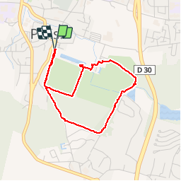
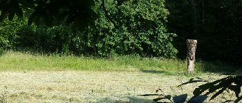
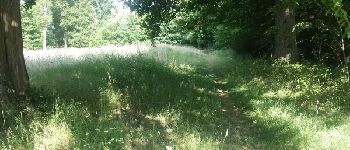
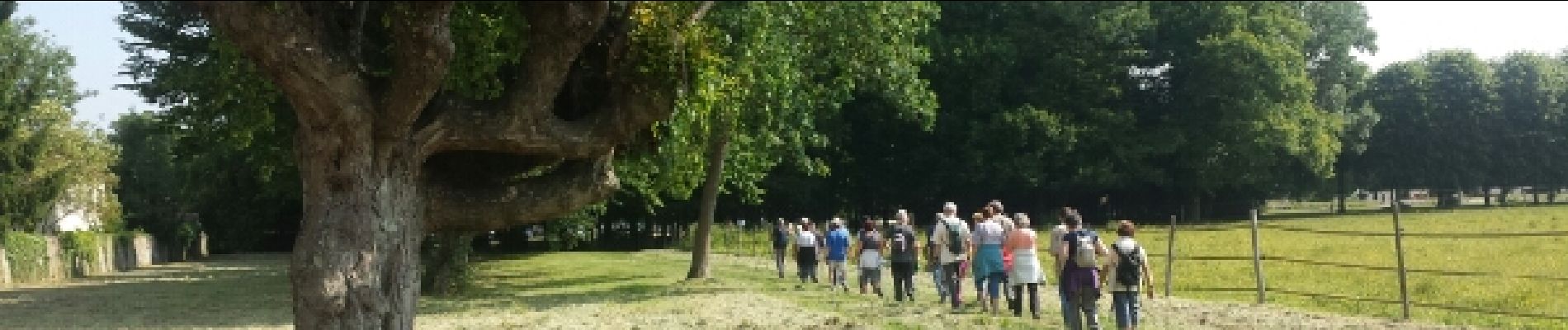
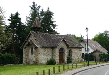
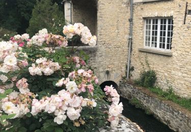
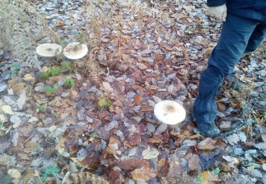
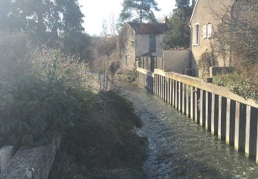
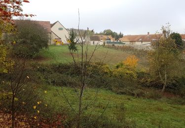
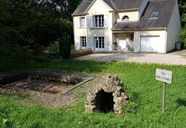
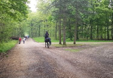
Trail Walking of 3.4 km to be discovered at Ile-de-France, Yvelines, Plaisir. This trail is proposed by microb.

Description

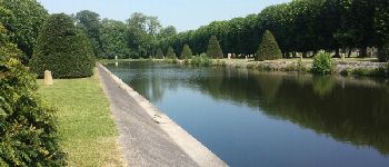
Parc du château de Plaisir

Elevation profile

Photos

Points of interest

Point of interest Plaisir - Entrée du Parc - Photo
microb
Point of interest Plaisir - Départ - Photo
microb
PLAISIR 
Point of interest Plaisir - Grimpette - Photo
microb
PLAISIR 
Point of interest Plaisir - Porte Sud - Photo
microb
PLAISIR 
Point of interest Plaisir - Totem - Photo
microb
PLAISIR 
Point of interest Plaisir - Chemin ombragé - Photo
microb
Point of interest Plaisir - chemin secret - Photo
microb
PLAISIR 
Point of interest Plaisir - Hérons - Photo
microb
PLAISIR 
Point of interest Plaisir - Faune - Photo
microb
PLAISIR 
Point of interest Plaisir - Chevaux - Photo
microb
PLAISIR 
Point of interest Plaisir - Arrivée au château - Photo
microb
Point of interest Plaisir - Château de Plaisir - Photo
microb
Point of interest Plaisir - Château de Plaisir - Photo
microb
Point of interest Plaisir - Perspective - Photo
microb
PLAISIR 
Point of interest Plaisir - Gros Platanes - Photo
microb
PLAISIR 
Point of interest Plaisir - Eglise St Pierre - Photo
microb
Point of interest Plaisir - Arbres torturés - Photo
microb

Positioning

Country:
France
Region :
Ile-de-France
Department/Province :
Yvelines
Municipality :
Plaisir
Location:
Unknown
Start:(UTM)
422804 ; 5407566 (31U) N.

Trails nearby

Trail Walking Plaisir - Plaisir et forêt de Ste Apolline  - Photo
Walking
tracegps

Walking

Medium
(2)
Plaisir, Ile-de-France, Yvelines, France
12.7 km | 15.4 km-effort
2h 30min
Yes
Trail On foot Chavenay - PR - Photo
On foot
PRO

On foot

Easy
Chavenay, Ile-de-France, Yvelines, France
4.5 km | 5.6 km-effort
1h 16min
No
Trail Walking Villepreux - Rennemoulin villepreux  - Photo
Walking
bernardb2

Walking

Medium
Villepreux, Ile-de-France, Yvelines, France
9 km | 9.9 km-effort
2h 15min
Yes
Trail Walking Bois-d'Arcy - 10342278-Tour du bois des Clayes - Photo
Walking
VVerley

Walking

Medium
(1)
Bois-d'Arcy, Ile-de-France, Yvelines, France
11.6 km | 13.4 km-effort
2h 56min
Yes
Trail Walking Plaisir - Forêt de Ste Appoline - Photo
Walking
c.chehere

Walking

Medium
Plaisir, Ile-de-France, Yvelines, France
18.1 km | 22 km-effort
5h 21min
Yes
Trail Other activity Chavenay - balade chavenay Yvelines  - Photo
Other activity
bernardb2

Other activity

Very easy
Chavenay, Ile-de-France, Yvelines, France
3.1 km | 3.7 km-effort
1h 8min
Yes
Trail Walking Élancourt - Elancourt 08/11/2018 - Photo
Walking
microb

Walking

Medium
Élancourt, Ile-de-France, Yvelines, France
5.7 km | 6.6 km-effort
1h 33min
Yes
Trail Walking Élancourt - Colline de la Revanche 17/05/2018 - Photo
Walking
microb

Walking

Difficult
Élancourt, Ile-de-France, Yvelines, France
4.4 km | 5.8 km-effort
1h 27min
Yes
Trail Walking Bois-d'Arcy - rando du 04/05/2017 - Photo
Walking
microb

Walking

Medium
Bois-d'Arcy, Ile-de-France, Yvelines, France
9.9 km | 11.3 km-effort
2h 18min
Yes


Close
My subscriptions