


Ile d'artz (Pointe de Nenezic-Pennaro)

Dervalmarc
User
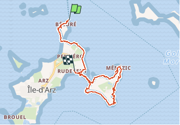

Length
8.7 km

Max alt
7 m

Uphill gradient
35 m
Km-Effort
9.2 km

Min alt
-3 m

Downhill gradient
30 m
Boucle
No
Creation date :
2016-03-09 00:00:00.0
Updated on :
2016-03-09 00:00:00.0
2h04
Difficulty : Very easy

FREE GPS app for hiking
 SityTrail
IGN / Geographical institutes
SityTrail Plus
The world is yours!
About
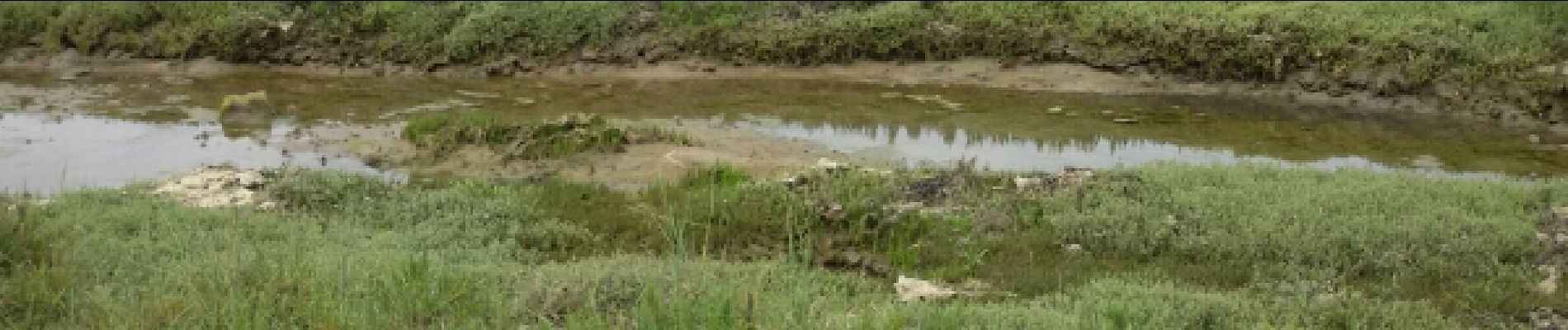
Trail Walking of 8.7 km to be discovered at Brittany, Morbihan, Île-d'Arz. This trail is proposed by Dervalmarc.
Photos
 - Photo 1")
 - Photo 2")
 - Photo 3")
 - Photo 4")
 - Photo 5")
 - Photo 6")
 - Photo 7")
Positioning
Country:
France
Region :
Brittany
Department/Province :
Morbihan
Municipality :
Île-d'Arz
Location:
Unknown
Start:(Dec)
Start:(UTM)
515600 ; 5272581 (30T) N.
Comments