


2025-01-19 12:47:32

Alokteff
User
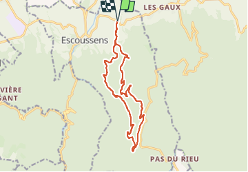

Length
16.3 km

Max alt
845 m

Uphill gradient
652 m
Km-Effort
25 km

Min alt
262 m

Downhill gradient
653 m
Boucle
Yes
Creation date :
2025-01-19 16:17:19.408
Updated on :
2025-01-19 17:07:58.707
4h40
Difficulty : Medium

FREE GPS app for hiking
 SityTrail
IGN / Geographical institutes
SityTrail Plus
The world is yours!
About
Trail Walking of 16.3 km to be discovered at Occitania, Tarn, Escoussens. This trail is proposed by Alokteff.
Description
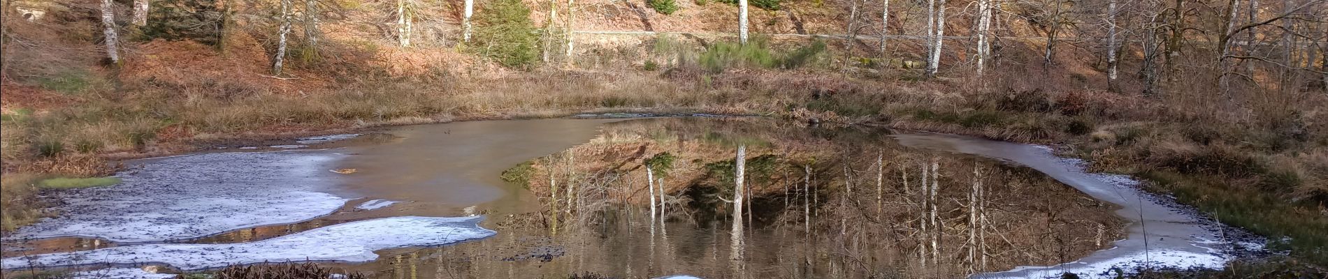
Une boucle au départ de la D60C entre Les Gaux et Escoussens, qui passe par La Blancarié, les étangs de Roudille et la cascade du Mouscaillou. Au centre coule le paisible et très agréable ruisseau du Mouscaillou.
Photos

Positioning
Country:
France
Region :
Occitania
Department/Province :
Tarn
Municipality :
Escoussens
Location:
Unknown
Start:(Dec)
Start:(UTM)
437721 ; 4817376 (31T) N.
Comments