


briancon

RoMo
User
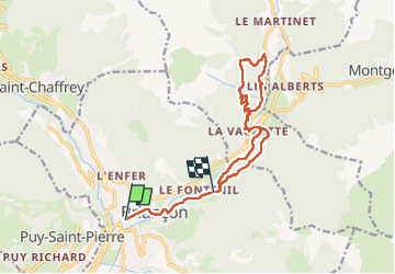

Length
14.8 km

Max alt
1619 m

Uphill gradient
672 m
Km-Effort
23 km

Min alt
1218 m

Downhill gradient
556 m
Boucle
No
Creation date :
2025-01-19 07:59:36.597
Updated on :
2025-01-20 10:06:54.14
7h33
Difficulty : Very difficult

FREE GPS app for hiking
 SityTrail
IGN / Geographical institutes
SityTrail Plus
The world is yours!
About
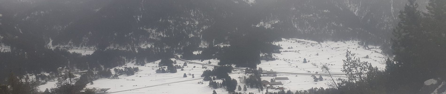
Trail Walking of 14.8 km to be discovered at Provence-Alpes-Côte d'Azur, Hautes-Alpes, Briançon. This trail is proposed by RoMo.
Description
boucle jusqu'à la vachette plus boucleau delà de la vachette.
Photos


Positioning
Country:
France
Region :
Provence-Alpes-Côte d'Azur
Department/Province :
Hautes-Alpes
Municipality :
Briançon
Location:
Unknown
Start:(Dec)
Start:(UTM)
313242 ; 4974210 (32T) N.
Comments