


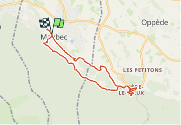
maubec /oppede en boucle

FLORENSAC
User

Length
9.3 km

Max alt
285 m

Uphill gradient
323 m
Km-Effort
13.6 km

Min alt
140 m

Downhill gradient
323 m
Boucle
Yes
Creation date :
2025-01-21 09:15:34.806
Updated on :
2025-01-21 14:09:43.698
4h53
Difficulty : Difficult

FREE GPS app for hiking
 SityTrail
IGN / Geographical institutes
SityTrail Plus
The world is yours!
About
Trail Walking of 9.3 km to be discovered at Provence-Alpes-Côte d'Azur, Vaucluse, Maubec. This trail is proposed by FLORENSAC.
Description
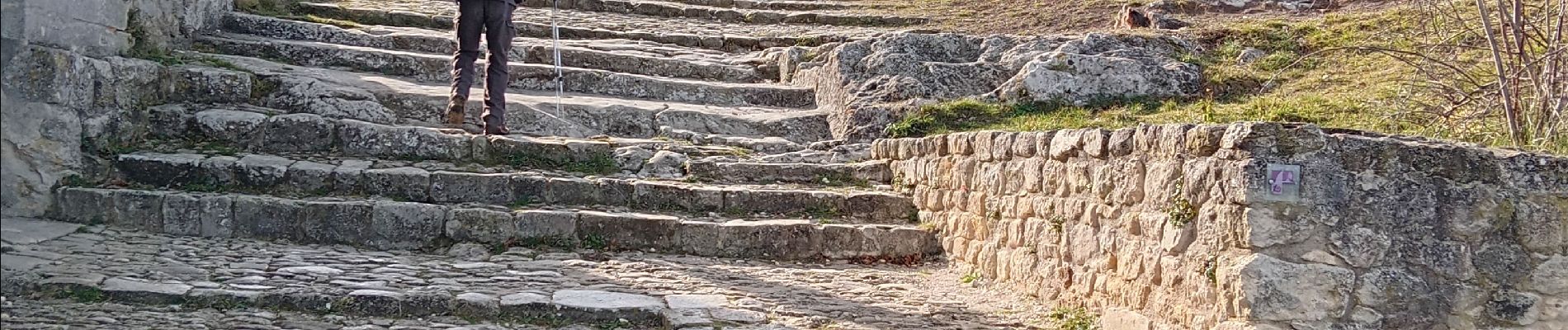
un peu physique😉
Photos


Positioning
Country:
France
Region :
Provence-Alpes-Côte d'Azur
Department/Province :
Vaucluse
Municipality :
Maubec
Location:
Unknown
Start:(Dec)
Start:(UTM)
671543 ; 4856551 (31T) N.
Comments