


Villeneuve les charnod

loca.yves
User GUIDE
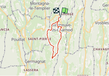

Length
10 km

Max alt
590 m

Uphill gradient
314 m
Km-Effort
14.2 km

Min alt
433 m

Downhill gradient
314 m
Boucle
Yes
Creation date :
2025-01-21 07:15:51.662
Updated on :
2025-01-22 13:57:37.918
3h12
Difficulty : Difficult

FREE GPS app for hiking
 SityTrail
IGN / Geographical institutes
SityTrail Plus
The world is yours!
About
Trail Walking of 10 km to be discovered at Bourgogne-Franche-Comté, Jura, Aromas. This trail is proposed by loca.yves.
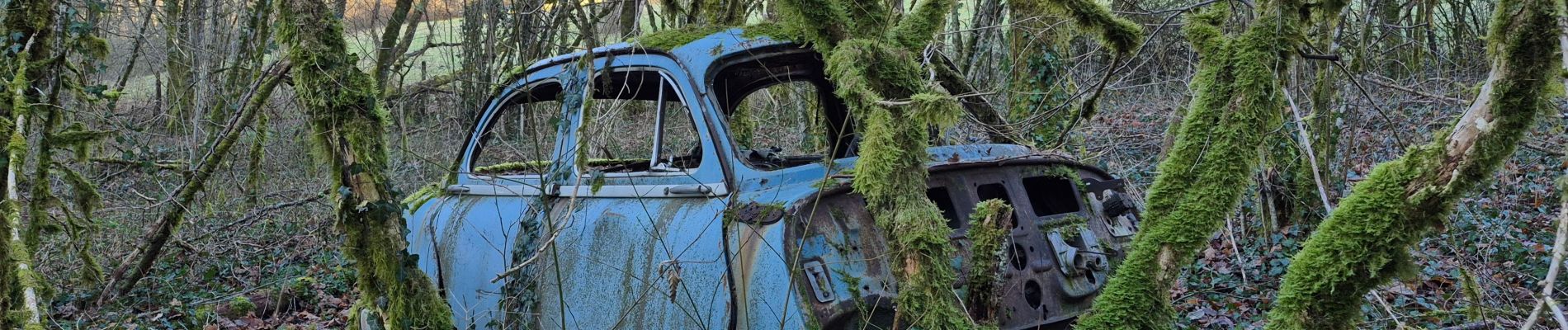
Photos

Positioning
Country:
France
Region :
Bourgogne-Franche-Comté
Department/Province :
Jura
Municipality :
Aromas
Location:
Villeneuve-lès-Charnod
Start:(Dec)
Start:(UTM)
690662 ; 5135319 (31T) N.
Comments