


fond d'hurle Vassieux en Vercors

taguette
User
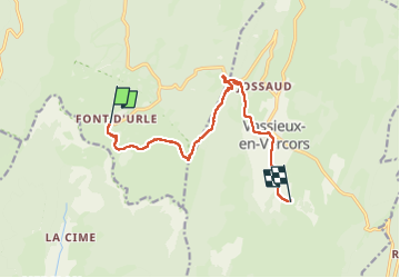

Length
11 km

Max alt
1537 m

Uphill gradient
229 m
Km-Effort
15.2 km

Min alt
1053 m

Downhill gradient
587 m
Boucle
No
Creation date :
2025-01-22 08:37:47.454
Updated on :
2025-01-22 15:58:30.916
7h20
Difficulty : Difficult

FREE GPS app for hiking
 SityTrail
IGN / Geographical institutes
SityTrail Plus
The world is yours!
About
Trail Walking of 11 km to be discovered at Auvergne-Rhône-Alpes, Drôme, Bouvante. This trail is proposed by taguette.
Positioning
Country:
France
Region :
Auvergne-Rhône-Alpes
Department/Province :
Drôme
Municipality :
Bouvante
Location:
Unknown
Start:(Dec)
Start:(UTM)
683203 ; 4974226 (31T) N.
Comments