


briancon

RoMo
User
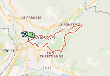

Length
7.2 km

Max alt
1439 m

Uphill gradient
328 m
Km-Effort
11.5 km

Min alt
1214 m

Downhill gradient
323 m
Boucle
Yes
Creation date :
2025-01-21 11:22:21.252
Updated on :
2025-01-22 16:12:05.9
3h13
Difficulty : Medium

FREE GPS app for hiking
 SityTrail
IGN / Geographical institutes
SityTrail Plus
The world is yours!
About
Trail Walking of 7.2 km to be discovered at Provence-Alpes-Côte d'Azur, Hautes-Alpes, Briançon. This trail is proposed by RoMo.
Description
boucle fort des têtes et fontenil
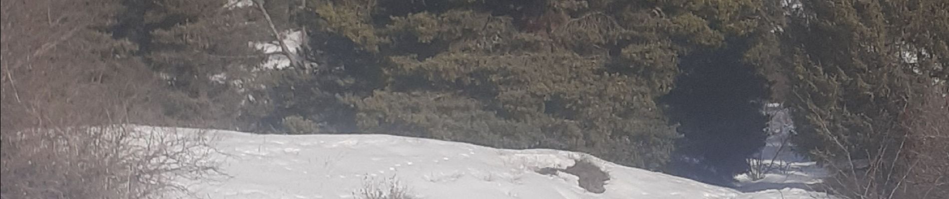
Photos


Positioning
Country:
France
Region :
Provence-Alpes-Côte d'Azur
Department/Province :
Hautes-Alpes
Municipality :
Briançon
Location:
Unknown
Start:(Dec)
Start:(UTM)
313187 ; 4974170 (32T) N.
Comments