


gym 23 01 25

micheleuvrard
User

Length
6.6 km

Max alt
69 m

Uphill gradient
59 m
Km-Effort
7.4 km

Min alt
54 m

Downhill gradient
59 m
Boucle
Yes
Creation date :
2025-01-23 12:55:00.014
Updated on :
2025-01-23 15:01:02.935
2h05
Difficulty : Medium

FREE GPS app for hiking
 SityTrail
IGN / Geographical institutes
SityTrail Plus
The world is yours!
About
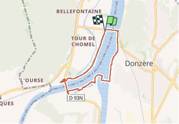
Trail Walking of 6.6 km to be discovered at Auvergne-Rhône-Alpes, Ardèche, Viviers. This trail is proposed by micheleuvrard.
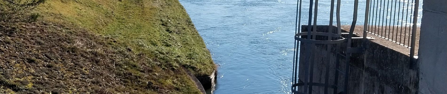
Photos


Positioning
Country:
France
Region :
Auvergne-Rhône-Alpes
Department/Province :
Ardèche
Municipality :
Viviers
Location:
Unknown
Start:(Dec)
Start:(UTM)
634907 ; 4923478 (31T) N.
Comments