Trail Other activity Zermatt - Diamant - Photo
© OpenStreetMap contributors
Length
Length
6.7 km
Max alt
Max alt
3116 m
Uphill gradient
Uphill gradient
684 m
Km-Effort
Km-Effort  
14.9 km
Min alt
Min alt
2514 m
Downhill gradient
Downhill gradient
391 m
Boucle
Boucle
No
Creation date :
2014-12-10 00:00:00.0
Updated on :
2014-12-10 00:00:00.0

(0 Reviews)

Other activity
Other activity
--
Difficulty : Unknown

Scan this QR Code to open this trail in the SityTrail application

FREE GPS app for hiking

Logo SityTrail SityTrail

IGN / Geographical institutes

Download SityTrail from the App Store Download SityTrail from Google Play

Logo SityTrail SityTrail Plus

The world is yours!

Download SityTrail from the App Store Download SityTrail from Google Play Download SityTrail on Huawei AppGallery

About

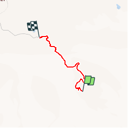
Trail Other activity of 6.7 km to be discovered at Valais/Wallis, Visp, Zermatt. This trail is proposed by nordicmarly.

Description

Grand Pré
Chemin des Falaises
Sentier Botanique
Bourgillon
Route de Lac Noir
Chemin de Brünisberg
Pierrafortscha
Manège
Bois du Roule
Grotte
Route des Préalpes
Chemin des Epinettes
Entre les fermes
Grand Pré

Elevation profile

Positioning

Country:
Switzerland
Region :
Valais/Wallis
Department/Province :
Visp
Municipality :
Zermatt
Location:
Unknown
Start:(UTM)
408032 ; 5090012 (32T) N.


Close
My subscriptions