


Saint Véran - Refuge Agnel

claudel
User
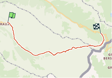

Length
12.5 km

Max alt
2888 m

Uphill gradient
929 m
Km-Effort
23 km

Min alt
1954 m

Downhill gradient
389 m
Boucle
No
Creation date :
2025-01-24 17:44:54.41
Updated on :
2025-01-26 10:51:19.275
5h14
Difficulty : Very difficult

FREE GPS app for hiking
 SityTrail
IGN / Geographical institutes
SityTrail Plus
The world is yours!
About
Trail Walking of 12.5 km to be discovered at Provence-Alpes-Côte d'Azur, Hautes-Alpes, Saint-Véran. This trail is proposed by claudel.
Positioning
Country:
France
Region :
Provence-Alpes-Côte d'Azur
Department/Province :
Hautes-Alpes
Municipality :
Saint-Véran
Location:
Unknown
Start:(Dec)
Start:(UTM)
331163 ; 4951813 (32T) N.
Comments