


Cazedarnes

Raymond DAVID
User
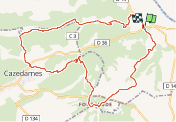

Length
14 km

Max alt
218 m

Uphill gradient
343 m
Km-Effort
18.6 km

Min alt
51 m

Downhill gradient
347 m
Boucle
Yes
Creation date :
2025-01-12 08:01:23.645
Updated on :
2025-01-25 18:22:17.312
4h30
Difficulty : Easy

FREE GPS app for hiking
 SityTrail
IGN / Geographical institutes
SityTrail Plus
The world is yours!
About
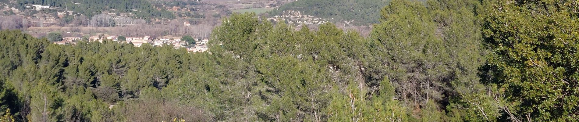
Trail Walking of 14 km to be discovered at Occitania, Hérault, Cessenon-sur-Orb. This trail is proposed by Raymond DAVID .
Description
Malgré le dénivelé, randonnée assez facile, à éviter par grosse chaleur.
En période de chasse, contacter la diane de Cessenon, ils sont sympa.
Photos


Positioning
Country:
France
Region :
Occitania
Department/Province :
Hérault
Municipality :
Cessenon-sur-Orb
Location:
Unknown
Start:(Dec)
Start:(UTM)
505828 ; 4809347 (31T) N.
Comments