


Circuit du Bit

Emelle
User
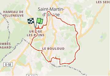

Length
10.2 km

Max alt
941 m

Uphill gradient
549 m
Km-Effort
17.6 km

Min alt
408 m

Downhill gradient
552 m
Boucle
Yes
Creation date :
2025-01-26 08:27:26.669
Updated on :
2025-01-26 13:26:46.666
4h58
Difficulty : Medium

FREE GPS app for hiking
 SityTrail
IGN / Geographical institutes
SityTrail Plus
The world is yours!
About
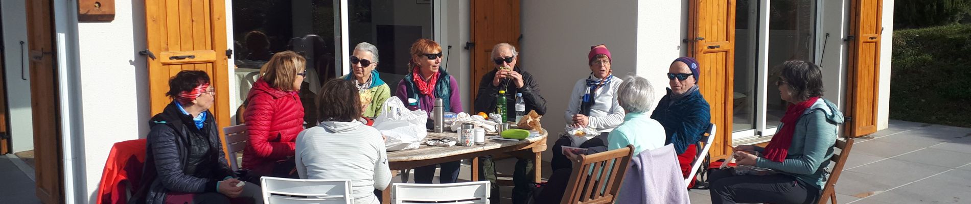
Trail Walking of 10.2 km to be discovered at Auvergne-Rhône-Alpes, Isère, Saint-Martin-d'Uriage. This trail is proposed by Emelle.
Photos


Positioning
Country:
France
Region :
Auvergne-Rhône-Alpes
Department/Province :
Isère
Municipality :
Saint-Martin-d'Uriage
Location:
Unknown
Start:(Dec)
Start:(UTM)
722458 ; 5002867 (31T) N.
Comments