


Roussas reconnaissance

collot
User


Length
17.1 km

Max alt
380 m

Uphill gradient
418 m
Km-Effort
23 km

Min alt
111 m

Downhill gradient
448 m
Boucle
Yes
Creation date :
2025-01-26 08:51:07.583
Updated on :
2025-01-26 15:27:34.434
6h35
Difficulty : Medium

FREE GPS app for hiking
 SityTrail
IGN / Geographical institutes
SityTrail Plus
The world is yours!
About
Trail Walking of 17.1 km to be discovered at Auvergne-Rhône-Alpes, Drôme, Roussas. This trail is proposed by collot.
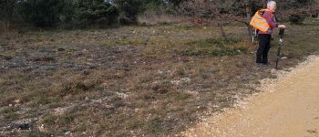
Photos

Positioning
Country:
France
Region :
Auvergne-Rhône-Alpes
Department/Province :
Drôme
Municipality :
Roussas
Location:
Unknown
Start:(Dec)
Start:(UTM)
643314 ; 4921242 (31T) N.
Comments