


Guillaumard

Alain28/01
User
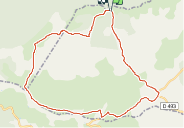

Length
11.5 km

Max alt
834 m

Uphill gradient
169 m
Km-Effort
13.7 km

Min alt
721 m

Downhill gradient
163 m
Boucle
Yes
Creation date :
2025-01-26 17:05:54.789
Updated on :
2025-01-26 17:06:36.893
3h06
Difficulty : Medium

FREE GPS app for hiking
 SityTrail
IGN / Geographical institutes
SityTrail Plus
The world is yours!
About
Trail Walking of 11.5 km to be discovered at Occitania, Aveyron, Cornus. This trail is proposed by Alain28/01.
Positioning
Country:
France
Region :
Occitania
Department/Province :
Aveyron
Municipality :
Cornus
Location:
Unknown
Start:(Dec)
Start:(UTM)
514159 ; 4856818 (31T) N.
Comments